
Planning & Development
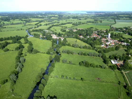
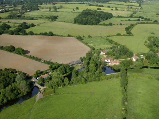
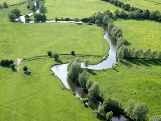
The Dedham Vale National Landscape covers an area of 90km2. The designation includes the lower reaches of the River Stour and extends eastwards as far as Cattawade Marshes.
Whilst the name of Dedham Vale Area of Outstanding Natural Beauty (AONB) was changed in November 2023 to the Dedham Vale National Landscape, the legal designation remains the same and therefore for the purposes of planning and statutory work, the Dedham Vale AONB will continue to be used.
The western boundary runs westwards between Bures and Wormingford while the northern and southern boundaries extend a few kilometres either side of the River Stour, at times also following the Rivers Brett and Box, that are tributaries of The Stour.
The AONB includes part of the administrative boundaries of Babergh District in Suffolk, a small part of Colchester Borough in the county of Essex. The Dedham Vale AONB is an attractive place to live, work and visit. It is under increasing development pressure for new housing, economic development and transport schemes.
The need for new development must be carefully balanced against the requirement to conserve and enhance the Natural Beauty of the AONB. Any planning applications coming forward within the AONB must seek to further the statutory purpose i.e. to conserve and enhance the AONB's natural beauty underpinning designation , in accordance with Section 85 of the Countryside and Rights of Way Act 2000,
They must also satisfy the objectives of paragraphs 182 and 183 of the National Planning Policy Framework, relevant policies in Local Plans covering the AONB and objectives in the Dedham Vale AONB and Stour Valley Management Plan 2021-2026.
Each of the Planning Authorities operating within the AONB prepare Local Plans to help guide development across their administrative areas, including within the AONB. As well as Local Plans we also comment on Waste and Mineral Plans, Supplementary Planning Documents and Neighbourhood Plans.
The AONB team comment on these various documents, on behalf of the AONB Partnership, to ensure that the conservation and enhancement of the area’s Natural Beauty is properly considered at the plan making stage.
Position Statements
Guidance for Planning in the National Landscape
Bramford to Twinstead National Grid proposals
Bramford to Twinstead, National Grid proposals to strengthen electricity transmission network through the AONB and Stour Valley.
The Dedham Vale AONB and Stour Valley Partnership responses to consultations:
- AONB Partnership Response Bramford-Twinstead Non-Statutory Consultation May 2021 (PDF)
- AONB Partnership Response Bramford-Twinstead Statutory Consultation March 2022 (PDF)
- AONB Staff Team Response Bramford to Twinstead Targeted Consultation 2022 (PDF)
- AONB Partnership Relevant Representations 2023 (PDF)
- AONB Written Representations 2023 (PDF)
- Responses to Examining Authority Questions (1) (PDF)
- Responses to Examining Authority Questions (2) (PDF)
Norwich to Tilbury (Previously known as National Grid East Anglia Green)
National Grid’s Norwich to Tilbury Proposals
The AONB Partnership have responded to the National Grid non-statutory consultation (2022) for the Norwich to Tilbury project, that response can be downloaded (PDF).
The response to the public consultation (2023) can be downloaded (PDF).
The AONB Partnership responses covered:
- Impacts on the AONB (construction of underground cables is likely to cause significant harm to AONB purpose)
- Impact on the AONB from infrastructure in the setting of the AONB (ie infrastructure close to the AONB boundary)
- Concerns raised by the local community in relation to whole project, consultation processes and consideration of alternatives
- Cumulative impacts on the AONB from this and other projects
For further information please contact National Landscape Manager Simon Amstutz at [email protected].
The AONB team also comments on individual planning applications which have the potential to positively or negatively impact on the primary purpose of the AONB (to conserve and enhance the area’s natural beauty).
The AONB team produced a Position Statement entitled Planning Consultations in the Dedham Vale AONB in 2018 to clarify the types of planning applications that we would like to be consulted on.Applications that frequently draw comments from the AONB team include:
- All Nationally Significant Infrastructure scheme; and proposals:
- Of sufficient scale, e.g. of a footprint, height, bulk and/or mass that could detract from the landscape qualities of the area
- That could significantly reduce the tranquillity of the area, through increased levels of noise and light.
- That could lead to a notable increase in disturbance, e.g. an increased number of visitors.
- That could lead to a change in landscape character, urbanisation of the countryside or an inappropriate change of use.
- That result in changes to public rights of way or areas of public access.
- That seek to establish a precedent, move away from Development Plan policy or exception sites.